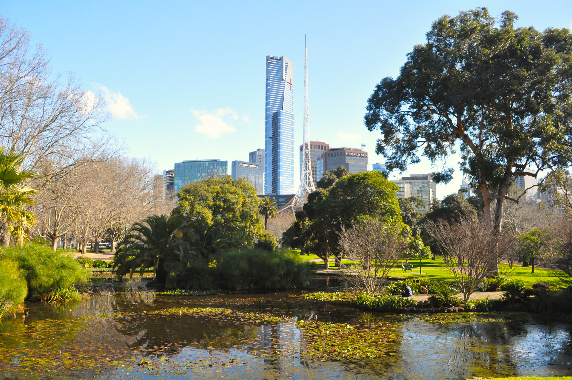
Working with councils to create a city in nature

Almost 100 years ago, A Plan for General Development set out the first comprehensive vision for Melbourne’s open space network. While the remarkable legacy of this vision lives on, the composition of our community is evolving, our climate is changing, and as we deal with the impacts of COVID-19, equitable access to quality, connected open spaces has never been more important. Responding to these challenges and opportunities as we protect, optimise and grow our city’s blue-green infrastructure will rely on innovation, creativity and meaningful collaboration.
Open space has long been at the heart of Melbourne’s culture and character. Our regional and local parks, gardens, laneways, civic areas, promenades, bays, waterways and trails across 32 local council areas contribute to our city being considered one of the world’s most liveable. Since the beginning of the
Coronavirus pandemic, Melburnians – particularly those in densely populated neighbourhoods – have connected with nature and explored the green and blue infrastructure on their doorsteps like never before.
Protecting, optimising and growing Melbourne’s open space network so it caters to our diverse, burgeoning population addresses current inequalities, and builds our resilience to climate change, is critical to the health and wellbeing of our whole community.
We are building on the legacy we’ve inherited, and partnering with Traditional Owners, local councils and other partners to actively identify and remove barriers to creating accessible open space, through policy-to-practice reform.
This will ensure a broader range of interests, needs, preferences and abilities are included in the planning, management and design of open space.
A lasting legacy
Released in 1929, A Plan for General Development set out the first comprehensive vision for Melbourne’s open space planning. This bold strategy sought to create and maintain quality open space, which its forward-thinking architects understood to have “a beneficial effect on the health, morals and business efficiency of communities, and consequently on the national life”.
The plan set out the vision for a radial open space network that provided five acres of parks and playgrounds per 1000 people. This included expansive parks along the city’s waterways and a framework to reserve land in peri-urban areas for open space, as people moved to the outer reaches of the metropolis.
Since then, large tracts of open space have been reserved as the “lungs of the city”, a world-class shared path network has been developed, parks have been created in Melbourne’s growth corridors, and we have reimagined our identity as a city by the bay by improving access, facilities and use of the Yarra River and Port Phillip Bay.
Today, Melbourne’s Urban Growth Boundary contains over 23,700 hectares of open space (nine per cent of the metropolitan area), of which 32 local government authorities manage roughly half.
Planning for the future
Melbourne’s population is forecast to grow to nine million people by 2056, with 70 per cent of the 1.9 million new homes to be built in established areas.
Plan Melbourne 2017-2050 – the overarching vision for Melbourne for the next 30 years – outlines that 20-minute neighbourhoods will be key to maintaining liveability in the face of population growth, higher-density living, health trends and the impacts of climate change.
